Impossible de charger la disponibilité du service de retrait
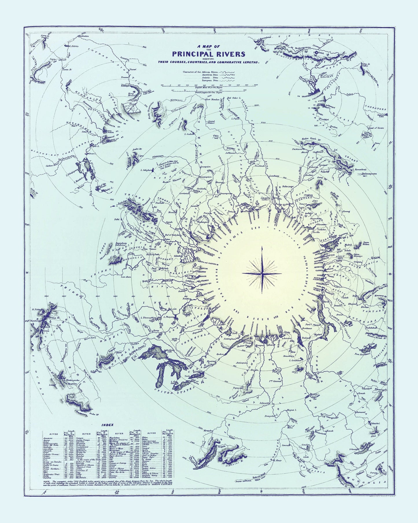
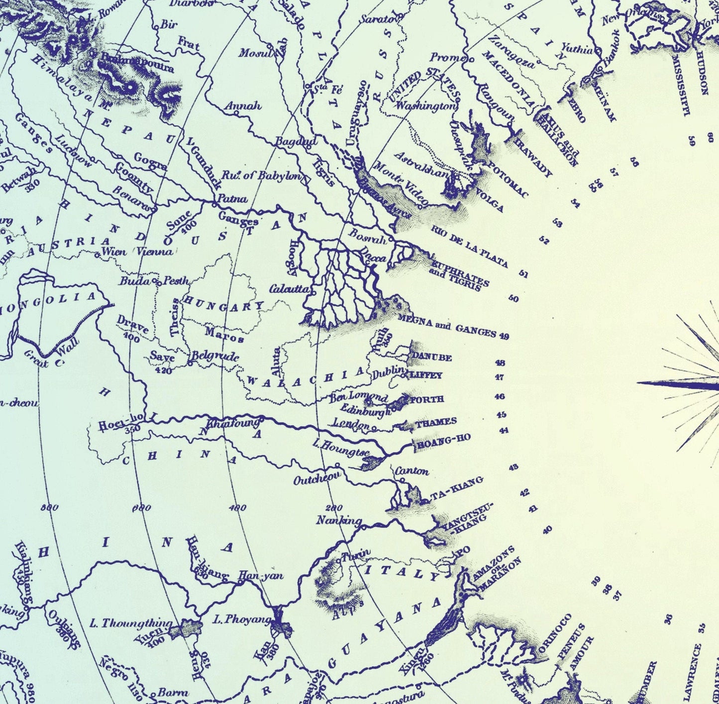
This antique-style map of A Map Of The Principal Rivers Showing Their Courses, Countries And Comparative Lengths Dated 1834 is a high-quality reproduction of a Victorian engraving. Originally produced in the 1800s, it¡¯s ideal for those who appreciate historical cartography and vintage wall art.
Printed on 300gsm fine art cotton rag paper using archival pigment-based inks for superb quality and longevity.
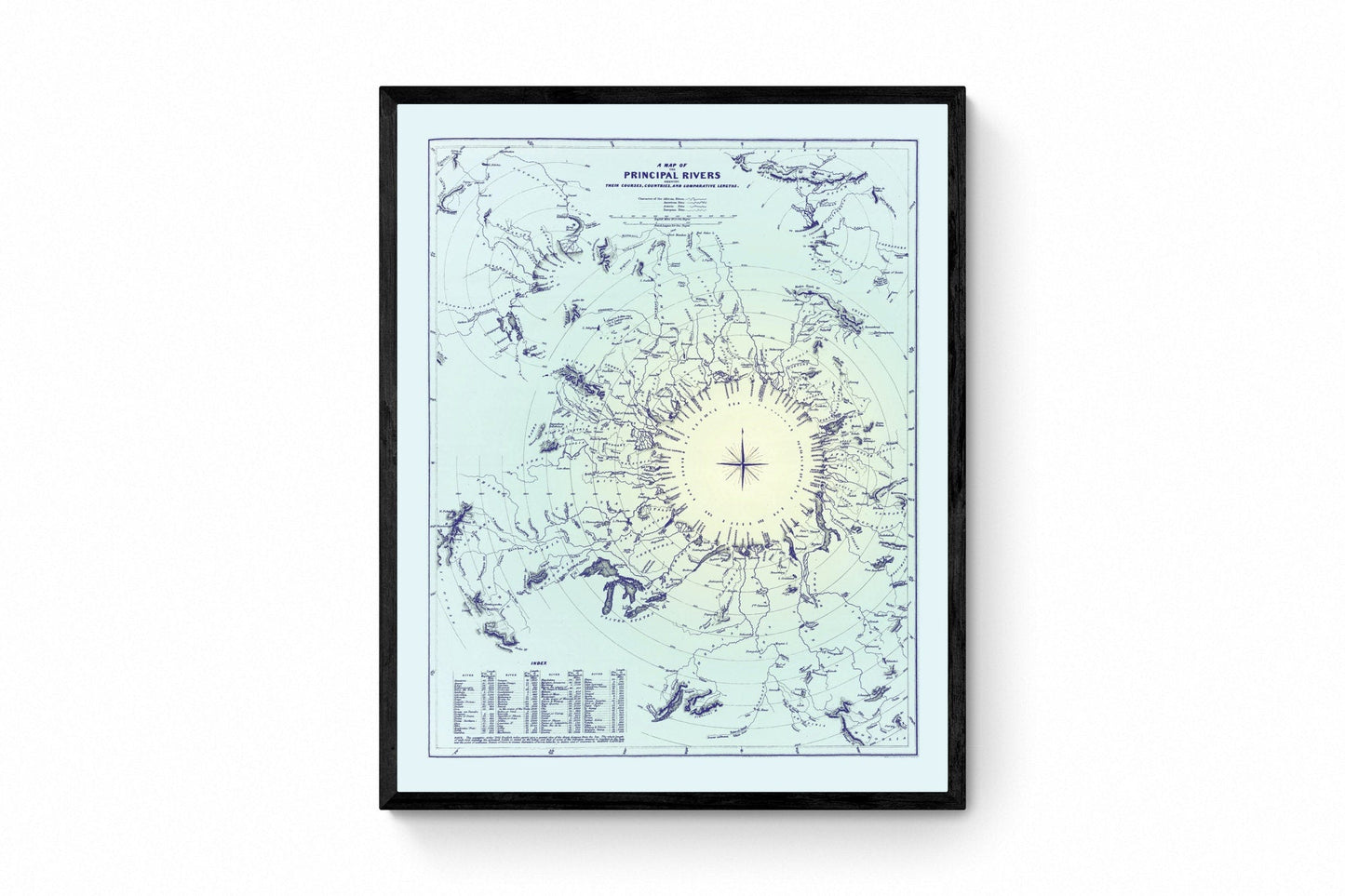
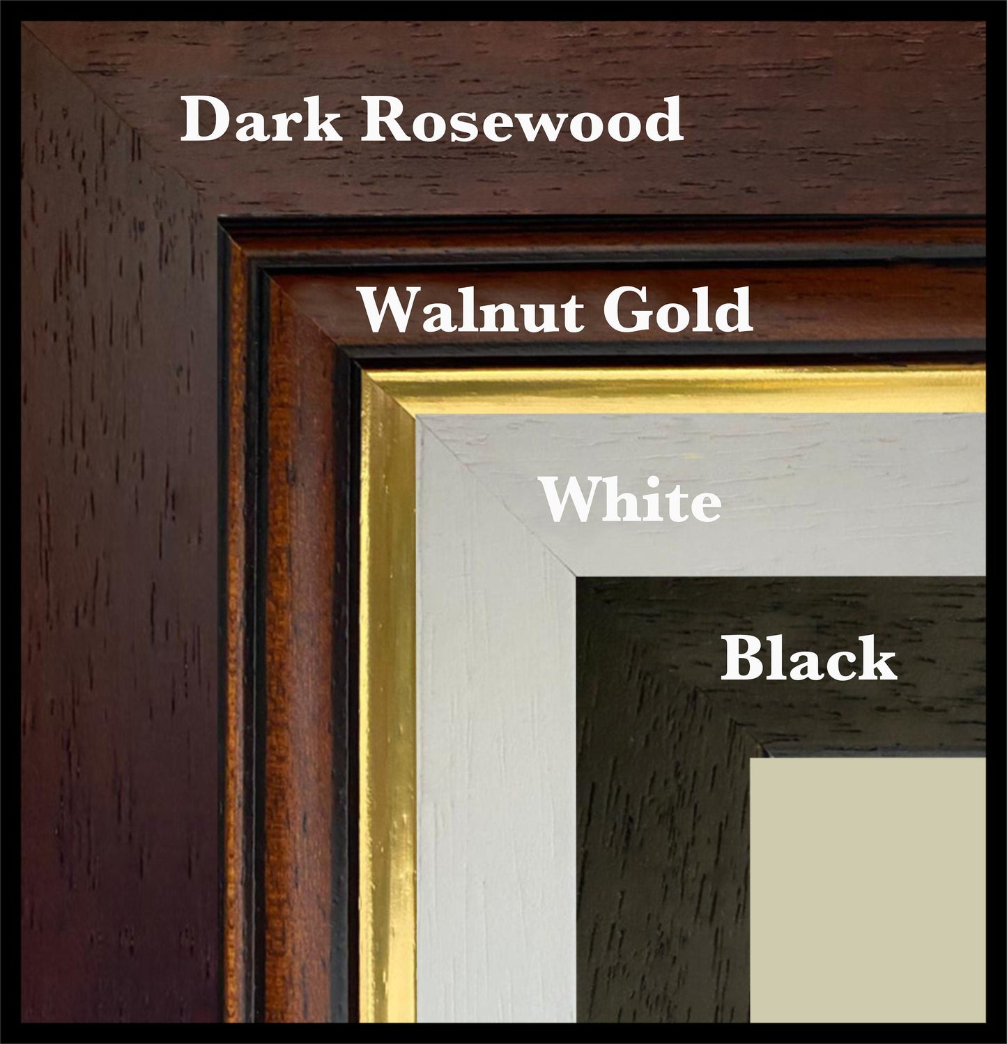
**Mounting & Framing** Mounts are antique white by default, but you may request black when ordering. Our solid wood frames are made in the UK and finished with care: - **Black/White** ¨C 20mm wide, 15mm deep - **Dark Rosewood** ¨C 35mm wide, 15mm deep - **Walnut Gold** ¨C 28mm wide, 14mm deep
Frames include perspex glazing and MDF backs. As wood is a natural material, variations in tone and grain may occur.
*Not all sizes are available mounted. Sizes refer to the print area.*